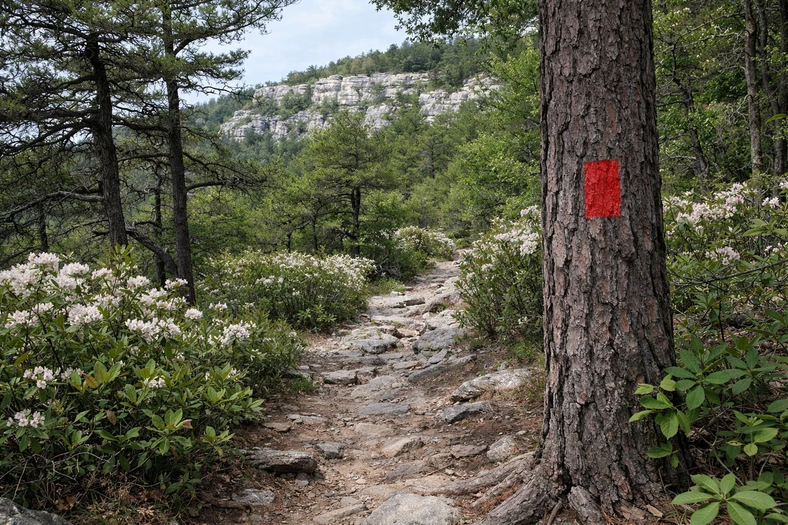
Minnewaska Trail Map
The official Minnewaska trail map is a free PDF from NY State Parks, with a separate map for the Sam's Point Area; both visitor centers and the gatehouses also sell a 16-by-20-inch tear-resistant topographic version for $5, and the official map is on the Avenza Maps phone app. The map colour-codes 35 miles of carriage roads and 50 miles of footpaths and lists each route's length. Download it before you go: do not rely on a phone signal on the ridge.
Maps at a Glance
Where to Get the Map
- Minnewaska State Park Preserve Trail Map (PDF) on NY State Parks' Minnewaska page, under Maps.
- Sam's Point Area Trail Map (PDF), for the southern section, Ice Caves and Verkeerder Kill Falls.
- Climbing Area Map (PDF), for the Peter's Kill Area. See rock climbing.
- Winter Recreation Map (PDF), for groomed ski routes.
- Avenza Maps: NY State Parks links the official trail map in the Avenza app for use on a phone.
- Paper: the $5 tear-resistant topo map at the Lake Minnewaska and Sam's Point visitor centers and the gatehouses.
Reading the Map
The map distinguishes carriage roads, footpaths, woods roads, minor and major roads, power lines and streams, and marks scenic vistas, waterfalls, parking, swimming areas, and routes with no biking or no horseback riding. Two long-distance trails are drawn across it: the Long Path and the Shawangunk Ridge Trail.
Carriage Roads (one-way miles)
- Lake Minnewaska, red, 2.0
- Awosting Falls, red, 1.4 (plus a 0.3-mile connection)
- Beacon Hill, orange, 0.7
- Scenic Sunset, orange, 0.8
- Castle Point, blue, 4.6
- Hamilton Point, yellow, 2.9
- Millbrook Mountain, yellow, 2.5
- Upper Awosting, green, 3.1
- Lower Awosting, black, 2.7
- Lake Awosting, black, 3.5
- Smiley, 7.4
- Stony Kill, 1.5
- High Point, 2.9; Loop Road, 3.0; Ice Caves Road, 0.4 (Sam's Point Area)
Footpaths (one-way miles)
- Gertrude's Nose, red, 2.7 · Millbrook Mountain, red, 1.2 · High Point, red, 2.4
- Rainbow Falls, orange, 2.0 · Scenic Trail, violet, 4.3
- High Peter's Kill, blue, 2.8 · Berry Picker, blue, 2.2 · Blueberry Run, blue, 2.2
- Jenny Lane, light blue, 2.9 · Mine Hole, aqua, 3.4 · South Gully, aqua, 2.6 · Verkeerder Kill Falls, aqua, 2.0
- Mossy Glen, yellow, 1.7 · Beacon Hill, yellow, 0.9 · Indian Rock, yellow, 0.6 · Yellow Connector, 0.2
- Awosting Reserve Loop, purple, 3.5 · Awosting Reserve Access Road, 1.7
- Wawarsing Turnpike, pink, 1.7 · Mud Pond Road, 1.4
- Ice Caves Trail, white, 0.6 · Stony Kill Trail, white, 0.5 · Bullwheel, white, 0.5 · Awosting Falls Connector, white, 0.2
- Red Loop, 0.8 · Spruce Glen, 0.7 · Wolf's Jaw Connector, 0.4
Elevations on the Map
- Lower Parking Area: 1,400 feet
- Upper Parking Area and Lake Minnewaska Visitor Center: 1,650 feet
- Diver's Cove: 1,700 feet
- Meadow Paths: 1,750 feet
- Castle–Hamilton Connector: 1,850 feet
Areas With Limited Access
The map marks some places as open only seasonally, including the Ice Caves and Mud Pond Road, and one area near Ellenville that is open only on authorized guided programs (contact the Sam's Point Visitor Center). Around Sam's Point, the trail crosses private land whose owners allow hikers who stay on the marked path.
Distances and Times
For round-trip estimates to every major destination, see hiking. The short version: Lake Minnewaska 2 miles in an hour, Awosting Falls 2.5 miles, Gertrude's Nose 7 miles in about five and a half hours.
Minnewaska Trail Map FAQ
Where can I get a Minnewaska trail map?
Free as a PDF on NY State Parks' Minnewaska page, on the Avenza Maps app, or as a $5 tear-resistant topo map at the visitor centers and gatehouses.
Is there a separate map for Sam's Point?
Yes. NY State Parks publishes a Sam's Point Area Trail Map covering the Ice Caves, Lake Maratanza and Verkeerder Kill Falls.
What do the colors on the Minnewaska map mean?
Each carriage road and footpath has its own colour; for example the Lake Minnewaska and Awosting Falls carriage roads are red and the Castle Point road is blue.
Is there cell service at Minnewaska?
Do not count on it. Download the PDF or the Avenza map before you go.